Tag Archives: Maps
Trakai Historical National Park
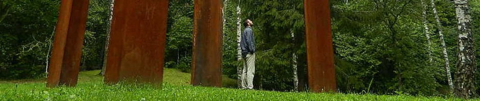
For my birthday yesterday, I visited Trakai Historical National Park which can easily be reached from Vilnius by bus or by train in 40 minutes. At the historic center of the park is Trakai town and the castle, for which … Continue reading
Where is Lithuania?
Maybe it is because I keep moving to small countries, or maybe it is because I keep moving around the periphery of Europe, but sure enough my latest move has already led to the question: “Where is Lithuania?” being posed … Continue reading
Where is Malta?
After receiving the 25th e-mail from a friend that included the question “Where is Malta, actually?”, I decided to devote a blog post to this recurring question. I cannot do so however, without voicing my despair about people’s lack of … Continue reading
London Underground (Tube) Map
When you come to London, one of the first things you will familiarise yourself with is the map of the London Underground, also called “the tube”. Colour-coded, it is easy to navigate: However, this map is also quite misleading as … Continue reading
Why the North is taking itself too serious
Map-making has always had the problem of trying to fit the surface of a (roughly) ball-shaped object on a flat piece of paper. A map reflective of the true proportions of our planet would look something like this: However, most … Continue reading
Upside down?
Ever since I spent 3 months on student exchange in Australia in 1992 and realised that I was not walking upside down, let alone falling off the earth, I have been very adamant against the use of “up” or “down” … Continue reading

